|
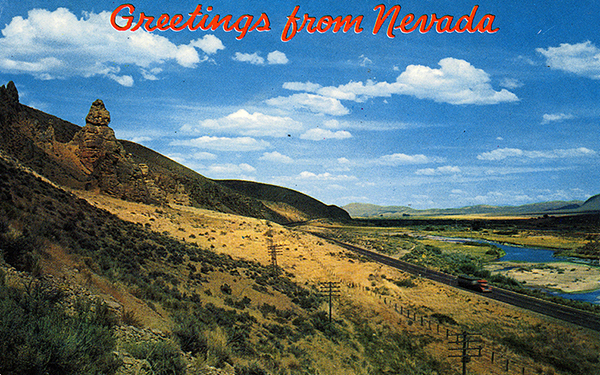
Scenic Locations - Nevada
Here are links to some scenic locations found along Route 40.
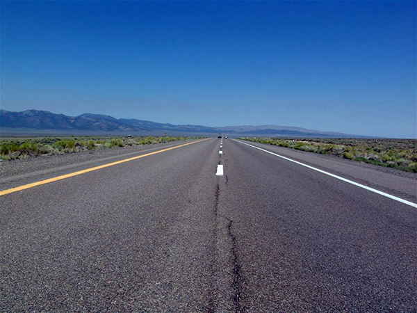
 Carlin Canyon (Carlin, NV) Carlin Canyon (Carlin, NV)
"A rugged canyon east of the town of Carlin, Nevada. A portion of old Route 40 has been abandoned where the canyon loops north......." |
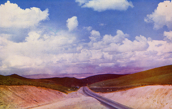
 Palisade Canyon (NV) Palisade Canyon (NV)
"The canyon is the site of a major train disaster. On August 12, 1939, the City of San Francisco derailed while crossing a bridge. Twenty-four people......" |
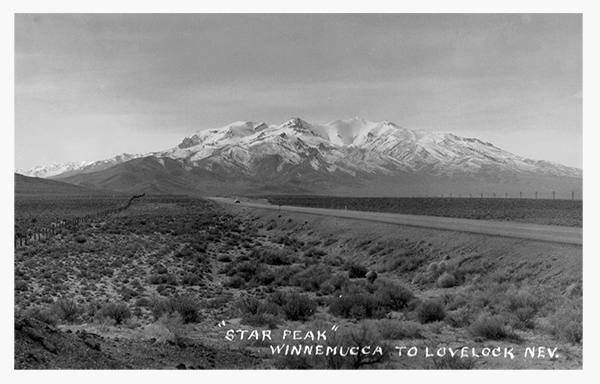 Star Peak (Imlay, NV) Star Peak (Imlay, NV)
"The crest of the Humboldt Range with an elevation of 9,836 feet (2,998 m)......." |
 40th Parallel (Lovelock, NV) 40th Parallel (Lovelock, NV)
"Some people believe that U.S. Route 40 obtained its numerical designation because it approximated the 40th parallel lattitude line. This is incorrect......." |
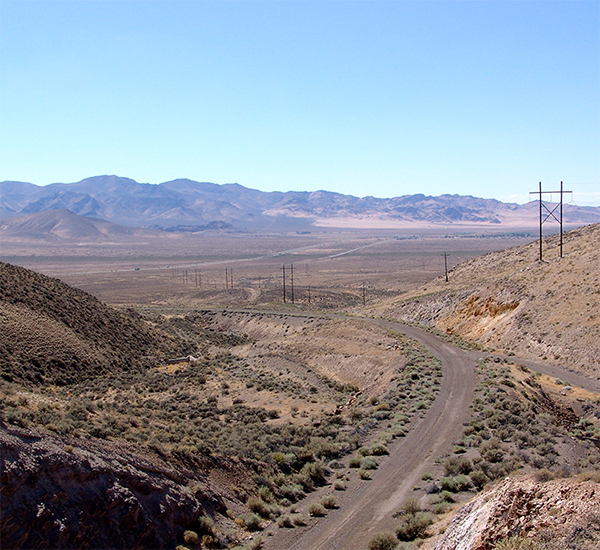
 Forty Mile Desert (NV) Forty Mile Desert (NV)
"A desert along the California Trail between the Humboldt Sink and the Truckee River. This expanse (actually 35 miles in length) was one of the most c......" |
Feedback: Do you have corrections or contributions for this page? Want to make a suggestion? Click here to send me an e-mail. I am espcially interested in memories, stories, postcards and photographs. Thanks!

Last updated: 2009-09-08 04:28:09 |
|
|

|
|