|
Somerfield (site)
Somerfield, PAThis old town was wiped off the map with the construction of Youghiogheny Lake. The buildings in town were razed. When the lake's water level drops low enough it is possible to see the foundations of the old town buildings in the mud.
View user comments below.
|
 |
|
John Kennedy Lacock at Big Crossings, Somerfield. Photograph by John Kennedy Lacock and Ernest K. Weller, 1910.
|
|
 |
|
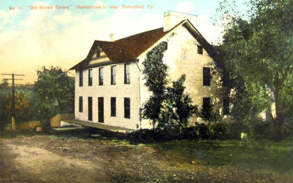
Old Brown Tavern, Somerfield. Photograph by John Kennedy Lacock and Ernest K. Weller, 1910.
|
|
 |
|
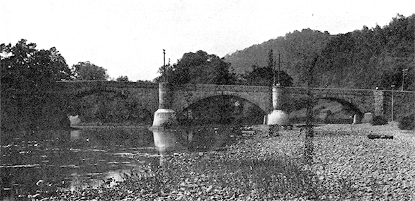
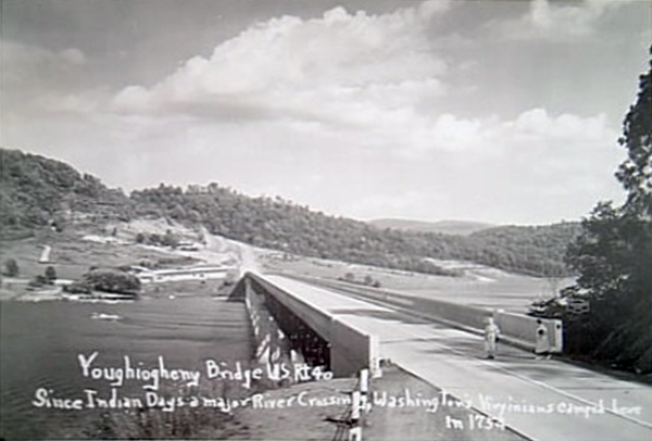
Big Crossings Bridge, Somerfield. Photograph by John Kennedy Lacock and Ernest K. Weller, 1910.
|
|
 |
|
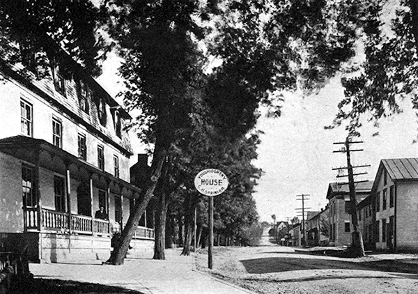
Looking east on Main Street, Somerfield. Photograph by John Kennedy Lacock and Ernest K. Weller, 1910.
|
|
 |
|
Yougiogheny Lake, 1940. The former town of Somerfield is underwater to the left.
|
|
|
|
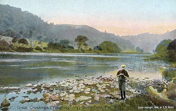
Youghiogheny River at Somerfield, 1908.
|
|
|
|
Looking east in Somerfield, 1910.
|
No comments have been posted.
Feedback: Do you have corrections or contributions for this page? Want to make a suggestion? Click here to send me an e-mail. I am espcially interested in memories, stories, postcards and photographs. Thanks!

Last updated: 2011-03-17 12:54:32 |
|
|

|
|