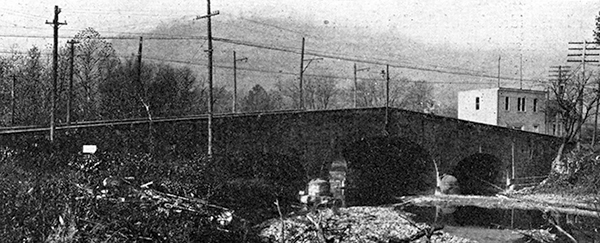
 |
John Kennedy Lacock Postcards and Photographs
John Kennedy Lacock published at least three sets of postcards:
- Braddock's Road Series containing 60 cards (published in 1908)
- Cumberland Road Series containing approximately 100 cards (published in 1910)
- Other scenes including at least one black and white photographic image
Below are tables with the known Lacock postcards. The green dots indicate the items in my collection. I am also including Lacock photographs that appeared in Robert Bruce's The National Road (1916). To learn more about a card click on the image.
John Kennedy Lacock's Braddock Road Postcard Series (1908)
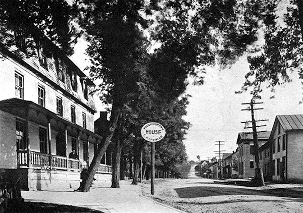
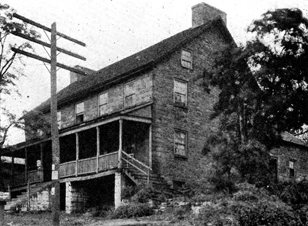
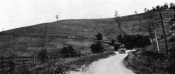
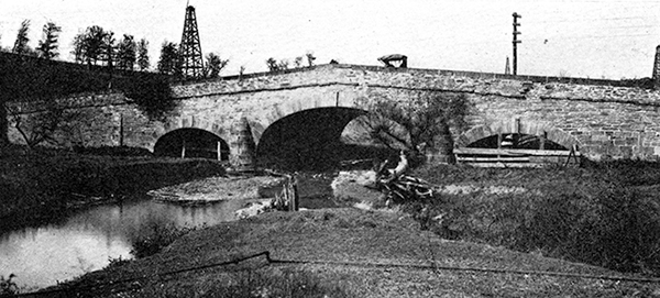
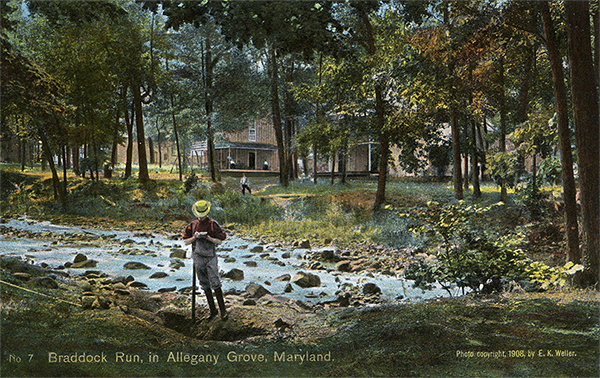
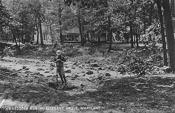
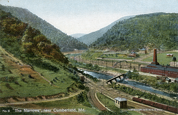
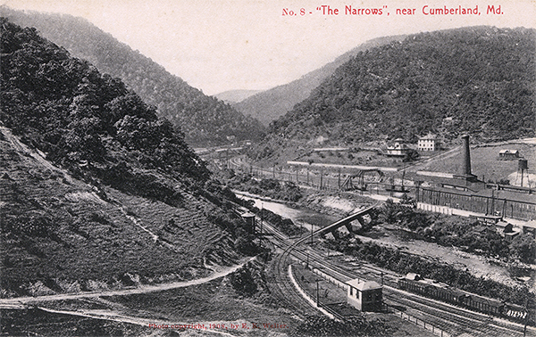
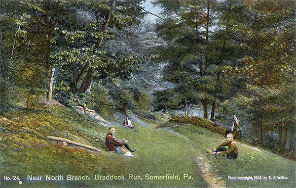
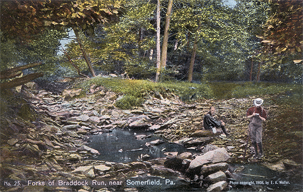
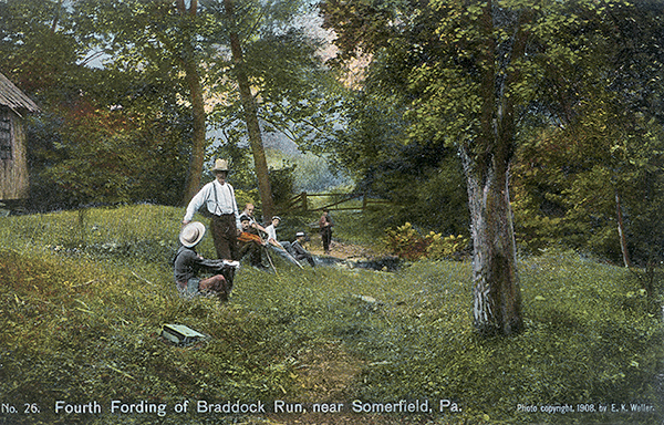
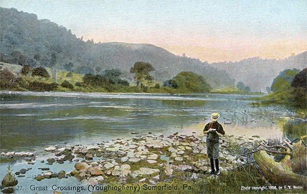
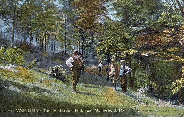
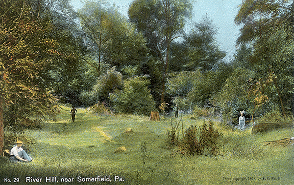
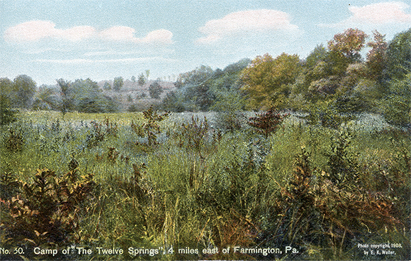
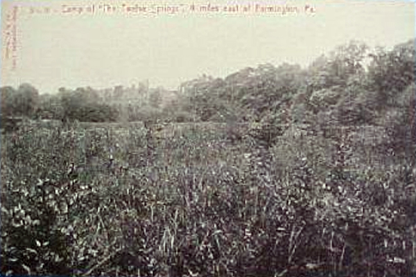
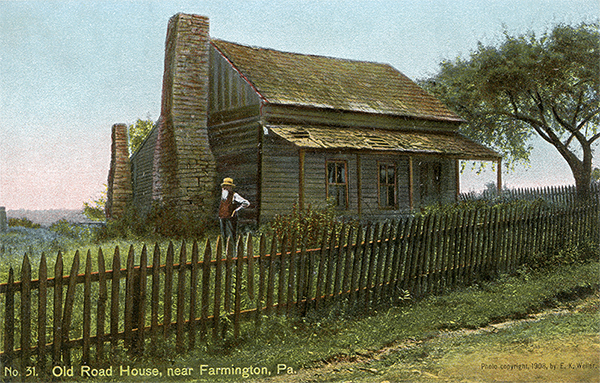
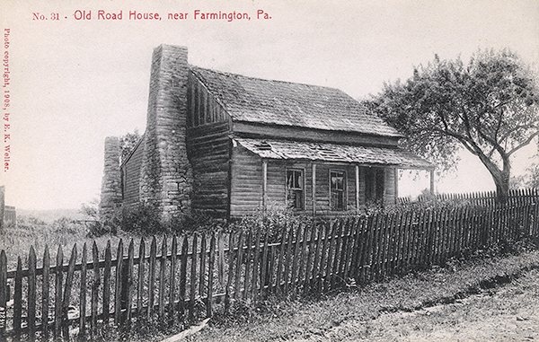
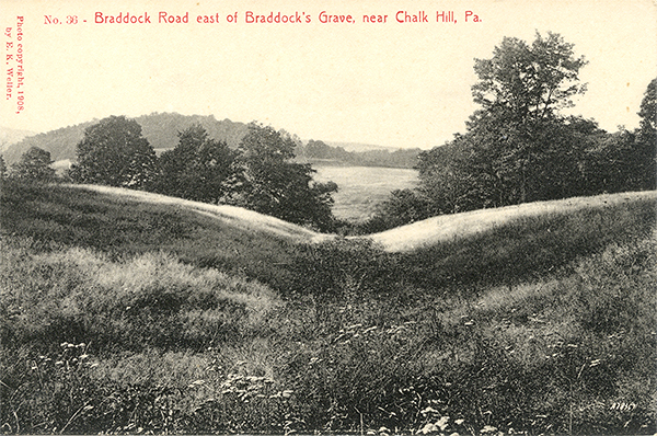
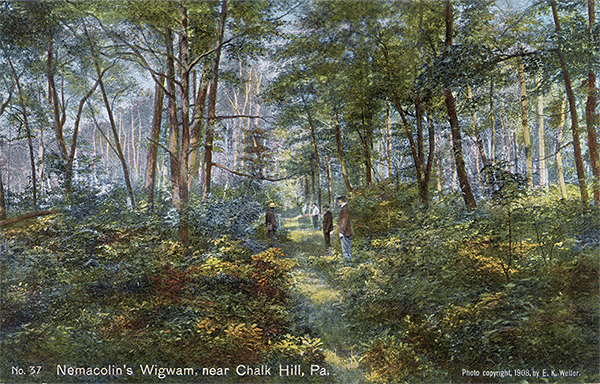
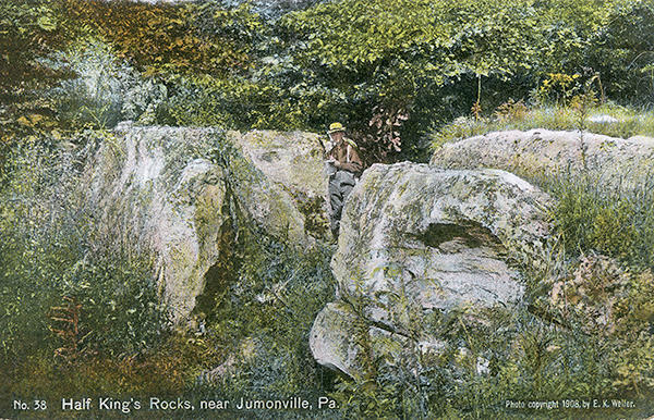
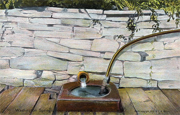
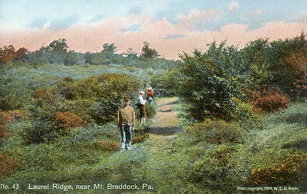
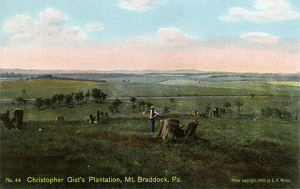
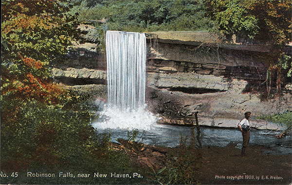
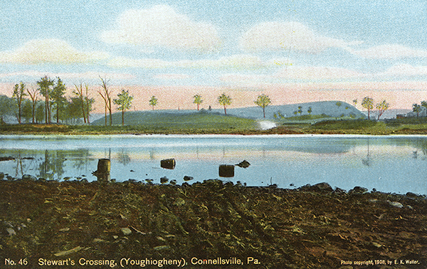
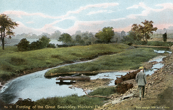
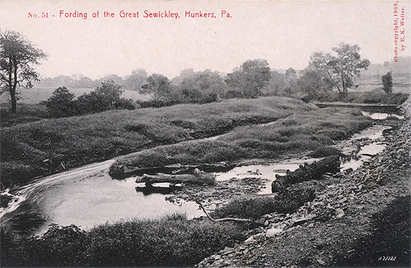
These scenes were shot during Lacock's two field expeditions in August of 1908 and June and July of 1909. What is really interesting is that the color and B&W versions are sometimes different. In at least one scene it is pretty clear that people were added to the scene in some post-photography creativity. I prefer the black and white cards since ther provide more detail.
Card # |
Leighton # |
Caption |
Color |
B&W |
Thumbnails |
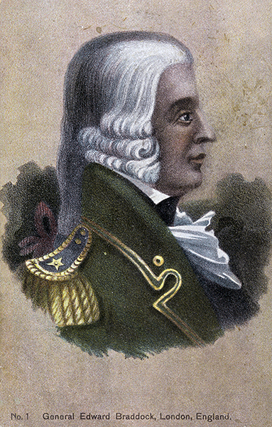
1 |
28579 |
General Edward Braddock, London, England |
 1 1 |
|
 |
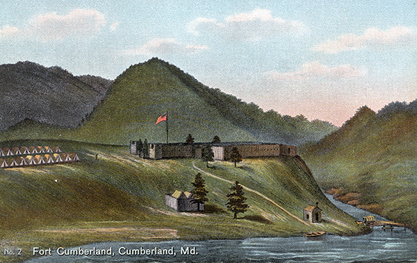
2 |
28580 |
Fort Cumberland, Cumberland, Md. |
|
|
 |
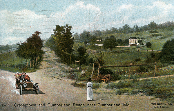
3 |
28581 |
Cresaptown and Cumberland Roads, near Cumberland, Md. |
 1 1 |
|
 |
4 |
28582 |
Mount Nebo, near Cumberland, Md. |
|
|
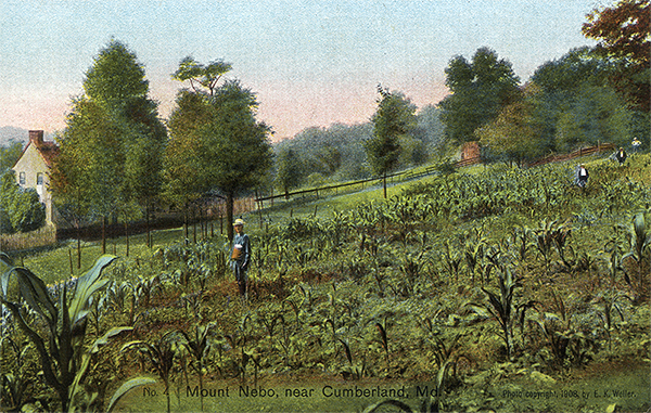 |
5 |
28583 |
Summit of Wills Mountain, near Cumberland, Md. |
|
|
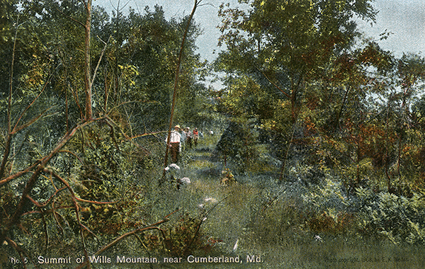  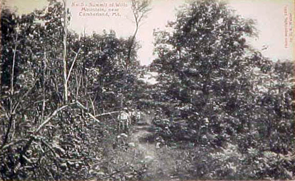 |
6 |
28584 |
Sandy Gap, near Cumberland, Md. |
|
|
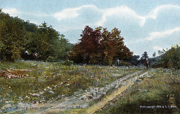 |
7 |
28585 |
Braddock Run in Allegany Grove, Maryland |
|
|
   |
8 |
28576 |
'The Narrows,' near Cumberland, Md. |
|
|
   |
9 |
28610 |
Braddock's Spring, near the Six Mile House, east of Clarysville, Md. |
|
|
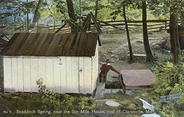  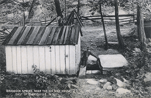 |
10 |
28609 |
Braddock Run on the Laber Farm, east of Clarysville, Md. |
|
|
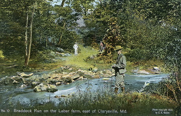 |
11 |
28608 |
Layman's Orchard, near Frostburg, Md. |
 1 1 |
|
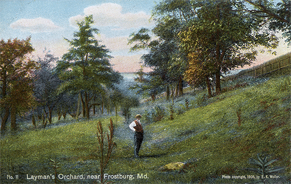 |
12 |
28607 |
Braddock Park, Frostburg, Md. |
|
|
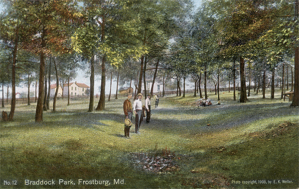 |
13 |
28606 |
Big Savage Mountain, eastern slope, near Frostburg, Md. |
|
|
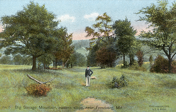 |
14 |
28605 |
Near summit of Big Savage Mountain, near Frostburg, Md. |
|
|
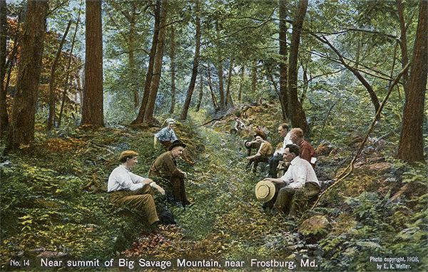 |
15 |
28604 |
St. John Rock, Big Savage Mountain, near Frostburg, Md. |
|
|
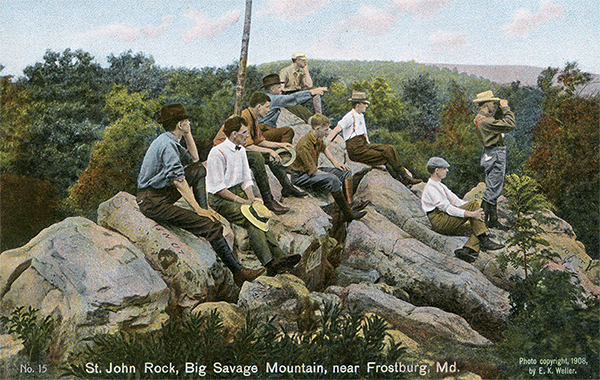 |
16 |
28603 |
Camp on Henry Blocher farm, Little Savage Mountain, west of Frostburg, Md. |
|
|
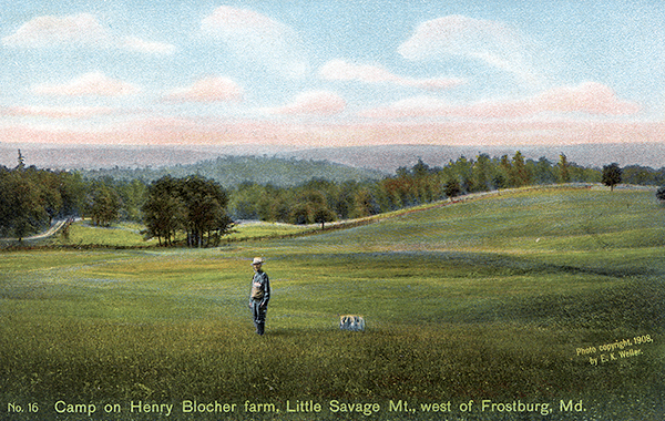 |
17 |
28602 |
'Little Meadows', 20 miles west from Cumberland, Md. |
|
|
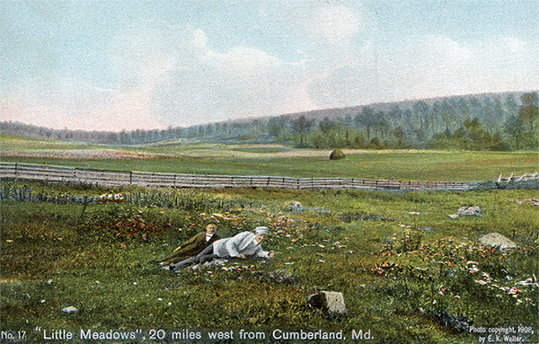 |
18 |
28601 |
Negro Mountain on National Road, west of Grantsville, Md. |
|
|
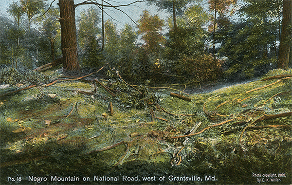 |
19 |
28600 |
Braddock Road near Spike Run, near Grantsville, Md. |
|
|
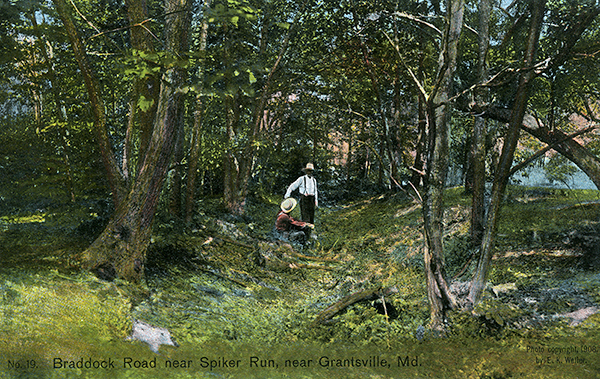 |
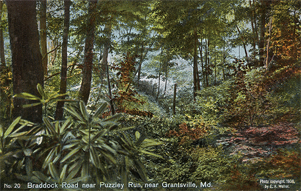
20 |
28599 |
Braddock Road near Puzzley Run, near Grantsville, Md. |
|
|
 |
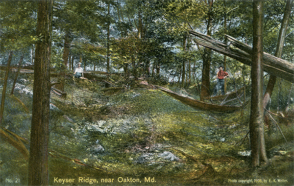
21 |
28598 |
Keyser Ridge, near Oakton, Md. |
|
|
 |
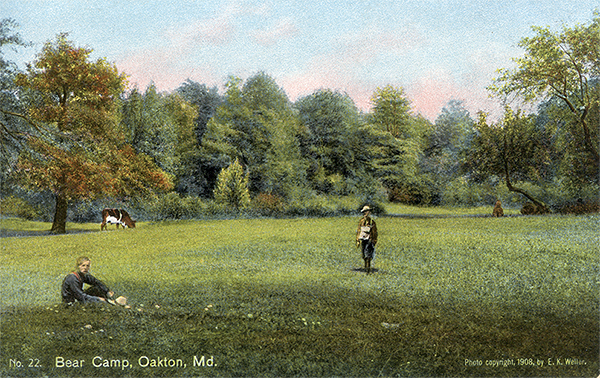
22 |
28597 |
Bear Camp, Oakton, Md. |
|
|
 |
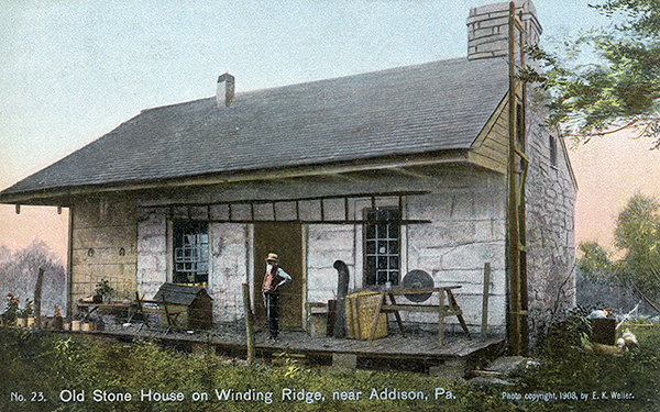
23 |
28596 |
Old Stone House on Winding Ridge, near Addison, Pa. |
|
|
 |
24 |
28595 |
North Bend Branch, Braddock Run, Somerfield, Pa. |
|
|
 |
25 |
28594 |
Forks of Braddock Run, near Somerfield, Pa. |
|
|
 |
26 |
28593 |
Fourth Fording of Braddock Run, near Somerfield, Pa. |
 1 1 |
|
 |
27 |
28592 |
Great Crossing (Youghiogheny), Somerfield, Pa. |
 1 1 |
|
 |
28 |
28591 |
Wolf Hill or Turkey Garden Hill, near Somerfield, Pa. |
|
|
 |
29 |
28590 |
River Hill, near Somerfield, Pa. |
|
|
 |
30 |
28589 |
Camp of the 'Twelve Springs', 4 miles east of Farmington, Pa. |
|
|
   |
31 |
28588 |
Old Road House, near Farmington, Pa. |
|
|
   |
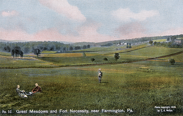
32 |
28587 |
Great Meadows and Fort Necessity, near Farmington, Pa. |
|
|
 |
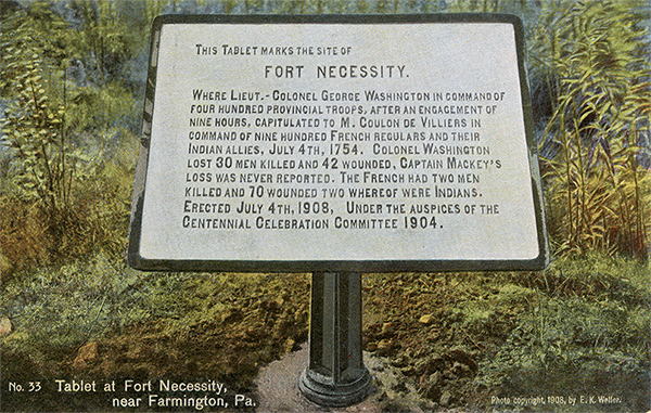
33 |
28586 |
Tablet at Fort Necessity, near Farmington, Pa. |
|
|
 |
34 |
28577 |
Braddock's Grave, near Chalk Hill, Pa. |
|
|
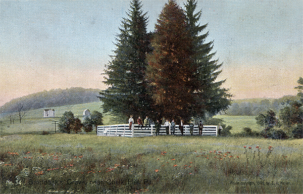  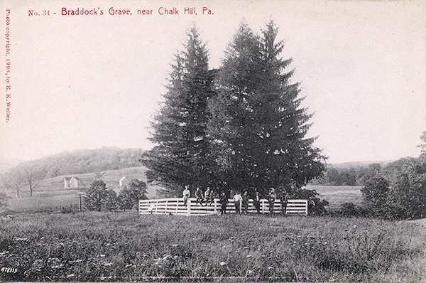 |
35 |
28611 |
Tablet at Braddock's Grave |
|
|
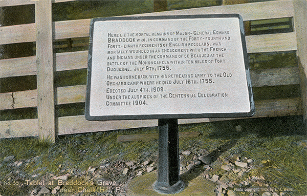 |
36 |
28612 |
Braddock Road east of Braddock's Grave, near Chalk Hill, Pa. |
|
|
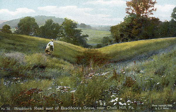   |
37 |
28613 |
Nemacolin's Wigwam, near Chalk Hill, Pa. |
 2 2 |
|
 |
38 |
28614 |
Half King's Rocks, near Jumonville, Pa. |
 2 2 |
|
 |
39 |
28615 |
Washington Springs, near Jumonville, Pa. |
 2 2 |
|
 |
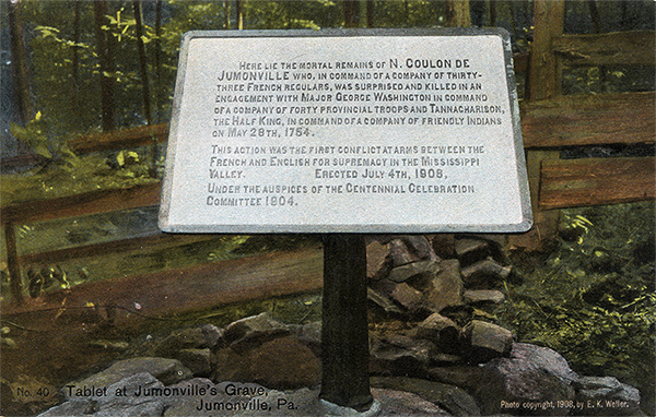
40 |
28616 |
Tablet at Jumonville's Grave, Jumonville, Pa. |
 2 2 |
|
 |
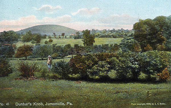
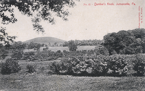
41 |
28617 |
Dunbar's Knob, Jumonville, Pa. |
|
|
   |
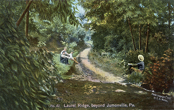
42 |
28618 |
Laurel Ridge, beyond Jumonville, Pa. |
|
|
 |
43 |
28619 |
Laurel Ridge, near Braddock, Pa. |
|
|
 |
44 |
28620 |
Christopher Gist's Plantation, Mt. Braddock, Pa. |
|
|
 |
45 |
28621 |
Robinson Falls, near New Haven, Pa. |
|
|
 |
46 |
28622 |
Stewart's Crossing, (Youghiogheny), Connellsville, Pa. |
|
|
 |
47 |
28623 |
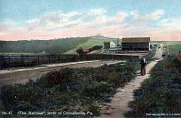
'The Narrows,' north of Connellsville, Pa. |
|
|
 |
48 |
28624 |
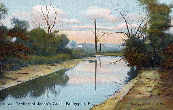
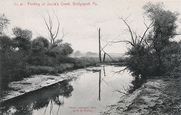
Fording of Jacob's Creek, Bridgeport, Pa. |
|
|
   |
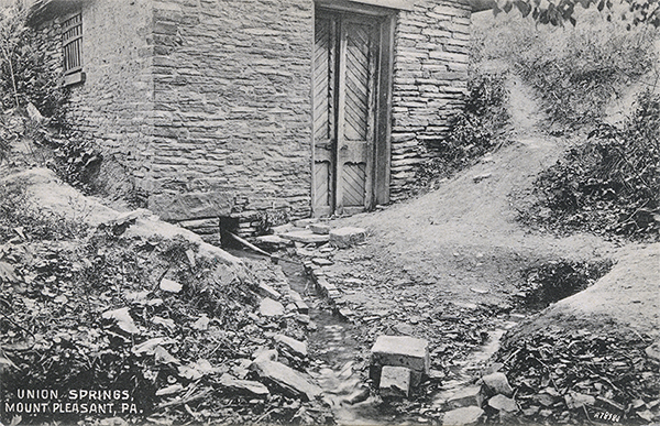
49 |
28625 |
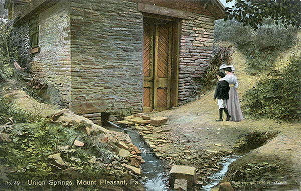
Union Springs, Mount Pleasant, Pa. |
 1 1 |
|
   |
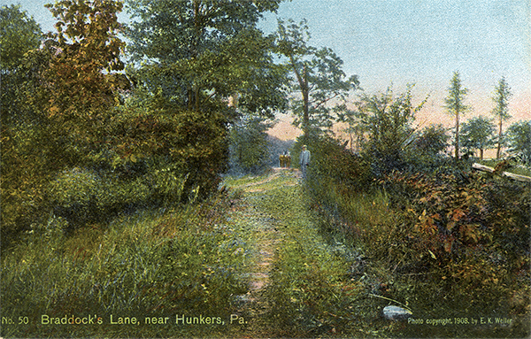
50 |
28626 |
Braddock's Lane, near Hunkers, Pa. |
 1 1 |
|
 |
51 |
28627 |
Fording of the Great Sewickley Creek, Hunkers, Pa. |
 1 1 |
|
   |
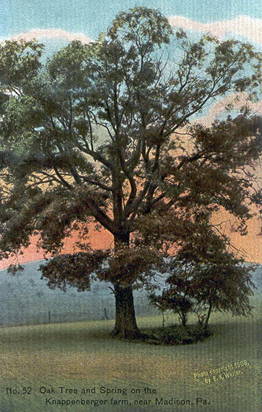
52 |
28628 |
Oak Tree and Spring on the Knappenberger farm, near Madison, Pa. |
|
|
 |
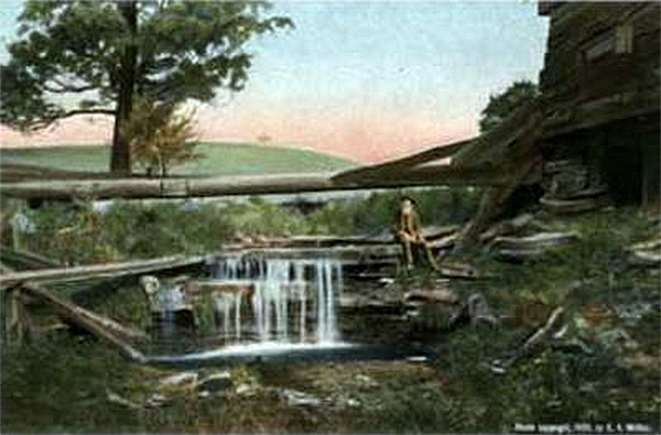
53 |
28629 |
Falls on the John Fox Farm, near Herminie, Pa. |
|
|
 |
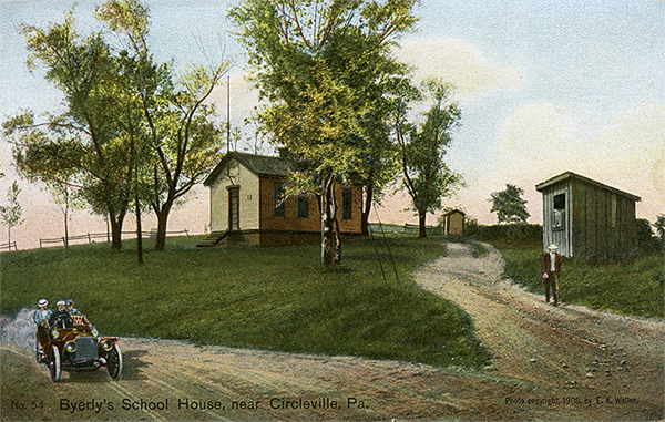
54 |
28630 |
Byerly's School House, near Circleville, Pa. |
 2 2 |
|
 |
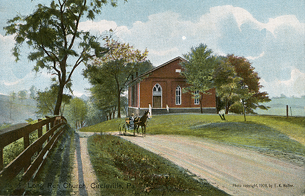
55 |
28631 |
Long Run Church, Circleville, Pa. |
|
|
 |
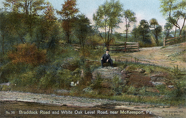
56 |
28632 |
Braddock Road and White Oak Level Road, near McKeesport, Pa. |
|
|
 |
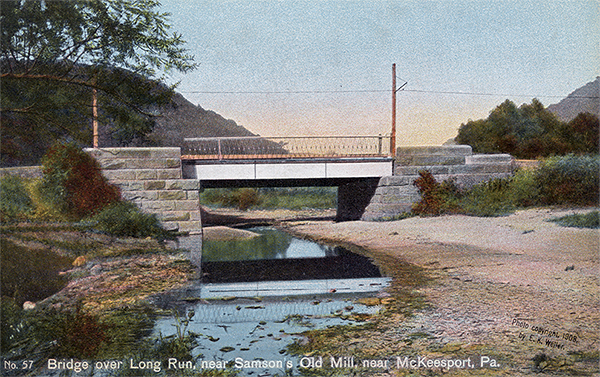
57 |
28633 |
Bridge over Long Run, near Samson's Old Mill, near McKeesport, Pa. |
|
|
 |
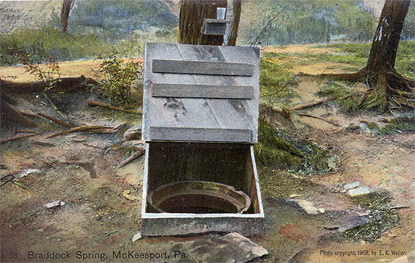
58 |
28634 |
Braddock Spring, McKeesport, Pa. |
|
|
 |
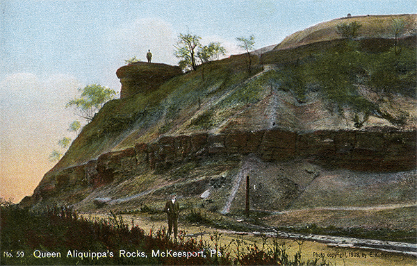
59 |
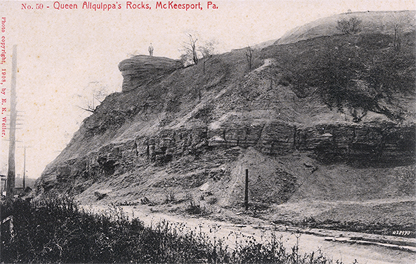
28635 |
Queen Alliquippa's Rocks, McKeesport, Pa. |
|
|
   |
60 |
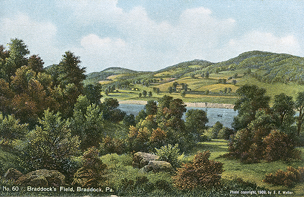
28578 |
Braddock's Field, Braddock, Pa. |
|
|
 |
1 I am looking for better copy of this postcard.
2 I have mave multiple copies and am willing to trade or sell.
John Kennedy Lacock's Cumberland Road Postcard Series (1910)
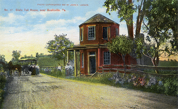
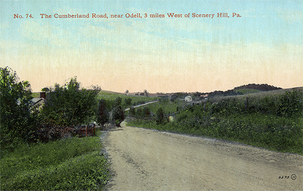
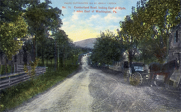
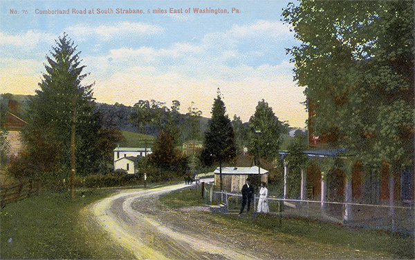
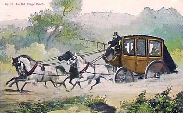
Some have suggested that the numbering sequence of this postcard series began at 61 and was an extension of Lacock's Braddock Road postcard series. Since a few scattered cards have surfaced with numbers below 61, I am assuming the numbering sequence actually started at 1. One card (#67) makes reference to cards numbered 10, 27, 55 and 94. As with the Braddock Road postcard series, there are hand tinted color versions as well as black and white versions.
Card # |
Leighton # |
Caption |
Color |
B&W |
Thumbnails |
A |
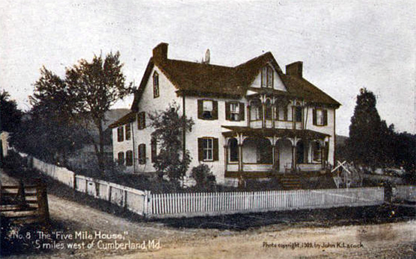
28571 |
Five Mile House |
|
|
 |
B |
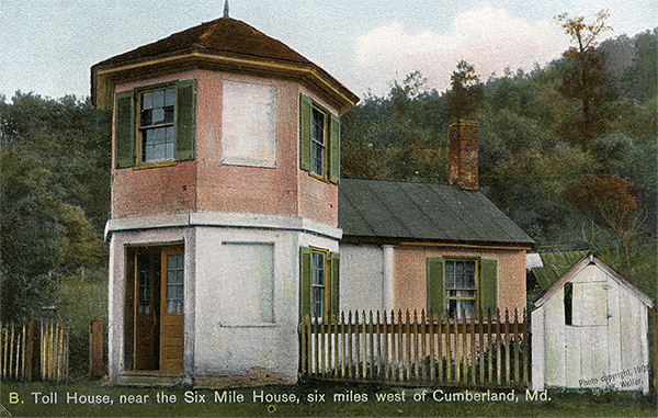
28572 |
Toll House |
|
|
 |
C |
28573 |
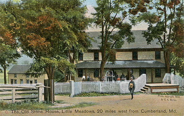
Old Stone House, Little Meadows, Md. |
 2 2 |
|
 |
D |
28574 |
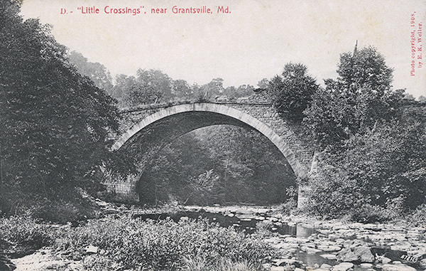
'Little Crossings', near Grantsville, Md. |
|
|
 |
1-7 |
|
? |
|
|
|
8 |
|
Five Mile House (same as card A, above) |
|
|
 |
9 |
|
? |
|
|
|
10 |
|
Toll House, Lavale, Md. |
|
|
|
11-16 |
|
|
|
|
|
17 |
|
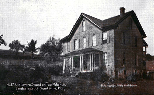
Old Tavern Stand on Two Mile Run, 5 miles east of Grantsville, Md. |
|
|
 |
18-24 |
|
? |
|
|
|
25 |
|
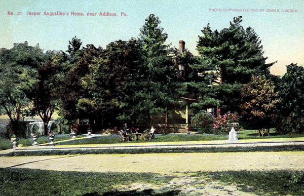
Jasper Augustine's Home, near Addison, Pa. |
|
|
 |
26 |
|
? |
|
|
|
27 |
|
Toll House, Addison, Pa. |
|
|
|
28 |
|
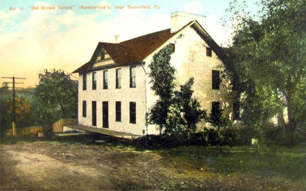
"Old Brown Tavern", near Somerfield, Pa. |
|
|
 |
29-44 |
|
? |
|
|
|
45 |
|
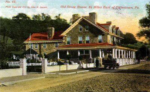
Old Stone House, 8 1/2 Miles East of Uniontown, Pa. |
|
|
 |
46-54 |
|
? |
|
|
|
55 |
|
Toll House |
|
|
|
54-60 |
|
? |
|
|
|
61 |
L-2207 |
Iron Bridge, Brownsville, Pa. |
|
|
|
62 |
L-2208 |
Wooden Covered Bridge over the Monongahela River, Brownsville, Pa. |
|
|
 |
63 |
L-2209 |
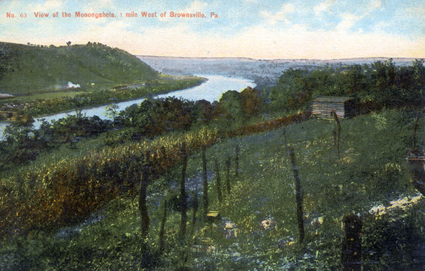
View of the Monongahela, 1 mile West of Brownsville, Pa. |
|
|
 |
64 |
L-2210 |
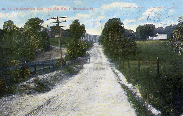
Cumberland Road 1 1/2 miles West of Brownsville, Pa. |
 1 1 |
|
 |
65 |
L-2211 |
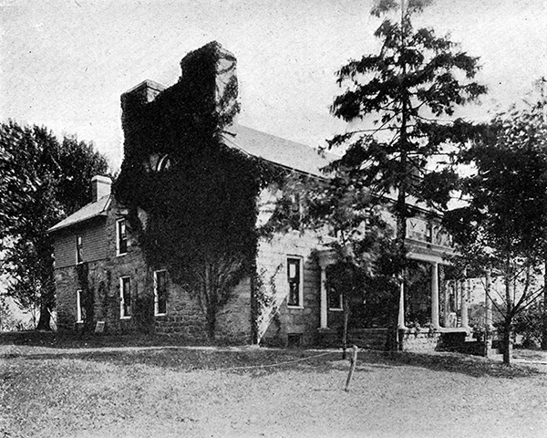
Malden, 2 1/2 miles west of Brownsville, Pa. |
|
|
 |
66 |
L-2212 |
Main Street, Centerville, Pa. |
|
|
|
67 |
L-2213 |
State Toll House, near Beallsville, Pa. |
|
|
 |
68 |
L-2214 |
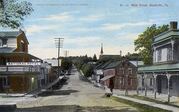
Main Street, Beallsville, Pa. |
|
|
 |
69 |
L-2215 |
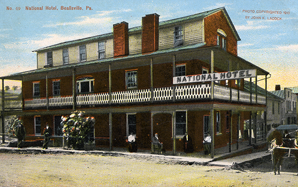
National Hotel, Beallsville, Pa. |
|
|
 |
70 |
L-2216 |
Concrete Bridge, 1 1/2 miles West of Beallsville, Pa. |
|
|
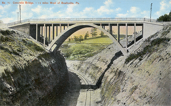 |
71 |
L-2217 |
Main Street, Scenery Hill (Hillsboro), Pa. |
 2 2 |
|
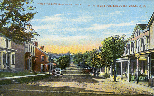 |
72 |
|
Central Hotel, Scenery Hill, Pa. |
|
|
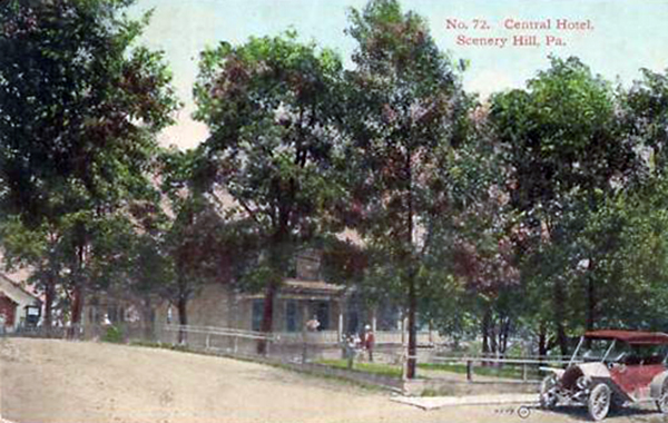 |
73 |
L-2218 |
Miller's Old Stand, 1 1/2 miles West of Scenery Hill, Pa. |
|
|
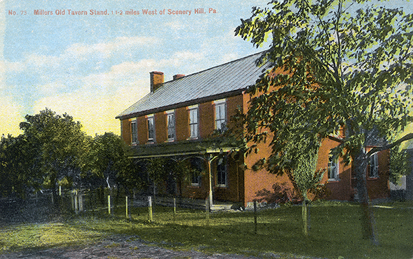 |
74 |
None |
The Cumberland Road, near Odell, 3 miles West of Scenery Hill, Pa. |
|
|
 |
75 |
L-2219 |
Cumberland Road, looking East at Glyde, 7 miles East of Washington, Pa. |
|
|
 |
76 |
L-2220 |
Cumberland Road at Strabane, 5 miles East of Washington, Pa. |
|
|
 |
77 |
L-2221 |
An Old Stage Coach |
|
|
 |
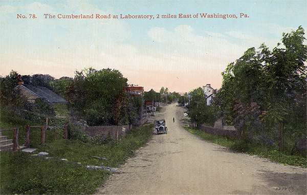
78 |
L-2222 |
The Cumberland Road at Laboratory, 2 miles East of Washington, Pa. |
|
|
 |
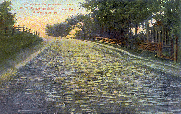
79 |
L-2222 |
Cumberland Road, 1 1/2 miles East of Washington, Pa. |
 1 1 |
|
 |
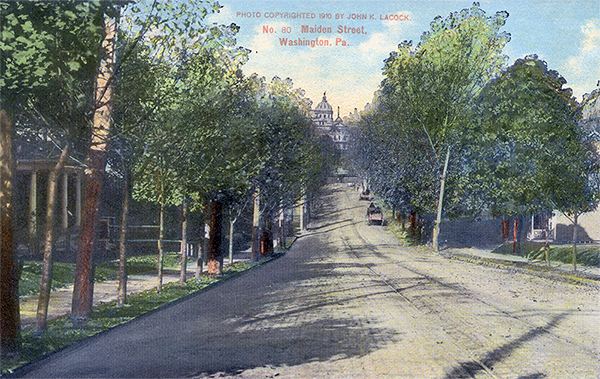
80 |
L-2223 |
Maiden Street, Washington, Pa. |
|
|
 |
81-93 |
|
? |
|
|
|
94 |
|
Toll House, east of West Alexander, Pa. |
|
|
|
95+ |
|
? |
|
|
|
1 I am looking for better copy of this postcard.
2 I have mave multiple copies and am willing to trade or sell.
Number |
Caption |
B&W Diazo Print |
Thumbnail |
None |
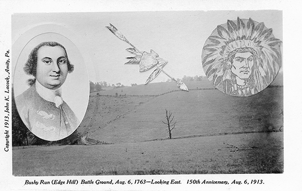
Bushy Run Battle Ground (1913) |
|
 |
Page |
Description |
Thumbnails |
37 |
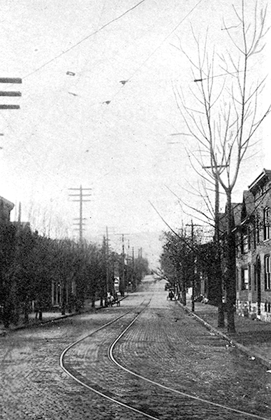
Looking west along Green Street, on the west side of Will's Creek, or older section of Cumberland, Md. |
|
45 |
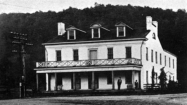
Close view of the Clarysville Hotel, as it stands today on the Old Pike, about nine miles west of Cumberland. |
|
49 |
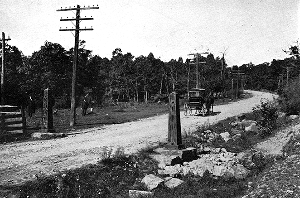
Long, steady grade on the eastern slope of Big Savage Mountain and original gate posts. |
|
53 |
The Jesse Tomlinson house at Little Meadows, one of the finest places on the old road today, and widely known as the stone house. |
|
55 |
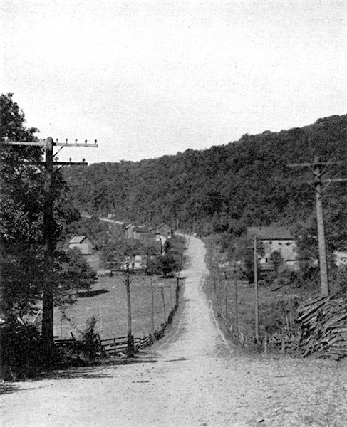
Looking west at Oakton (on U.S. Survey sheet), or Strawn, Pa. P.O. |
|
57 |
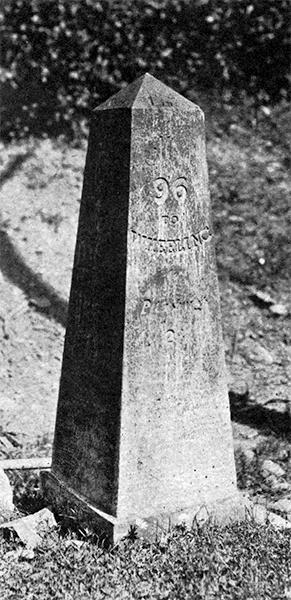
Close up of one of the original metal mileposts, still in good condition. |
|
58 |
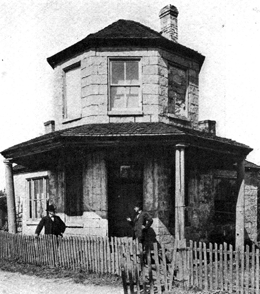
One of the three tollhouses now standing on the National Turnpike in Pennsylvania, and the only one built of stone. |
|
58 |
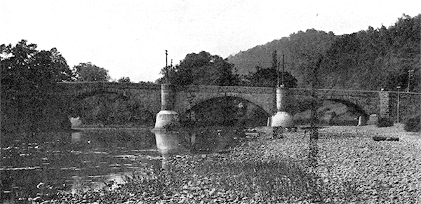
Three span stone arched bridge over the Youghiogheny River at Somerfield, Pa. |
|
59 |
Looking East along the Main Street of Somerfield, Pa., from a point just east of the Youghiogheny River. |
|
60 |
Site of Fort Necessity where George Washington surrendered to a superior force of French and Indians on July 4, 1754. [same as Braddock Road postcard #32 above]. |
|
60 |
Historic marker at Fort Necessity [same as Braddock Road postcard #33 above]. |
|
69 |
The famous Searight house, at a prominent cross-road six miles west of Uniontown. |
|
70 |
An interesting relic of the past - the old covered bridge across the Monongahela River at Brownsville [same as Cumberland Road postcard #62 above]. |
|
71 |
View of the winding Monongahela River from the heights about a mile west of Brownsville [same as Cumberland Road postcard #63 above]. |
|
72 |
The old stone house on the north side of the road, about three miles west of Bownsville [same as Cumberland Road postcard #65 above]. |
|
73 |
An old landmark at Beallsville, Pa., where the road to Pittsburgh via Finleyville connects with the pike [same as Cumberland Road postcard #69 above]. |
|
73 |
Looking west through the little village of Laboratory [same as Cumberland Road postcard #78 above]. |
|
74 |
Dead Man's Hollow at the eastern approach to Egg Nog Hill between the little villages of Odell and Glyde [probably part of the Cumberland Road postcard series]. |
|
76 |
Three span stone arch bridge carrying the National Pike over Chartiers Creek,two miles west of Washington, Pa. [probably part of the Cumberland Road postcard series]. |
|
77 |
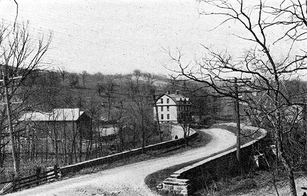
The S-Bridge which carries the National Pike over Buffalo Creek about six miles west of Washington, Pa. [probably part of the Cumberland Road postcard series]. |
|
78 |
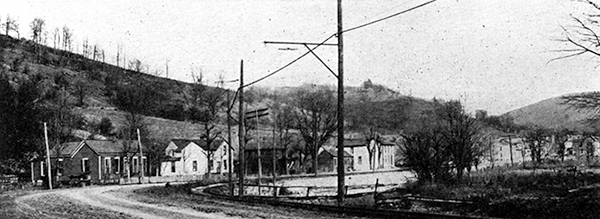
Where the road and the trolley curve in going into Triadelphia [probably part of the Cumberland Road postcard series]. |
|
79 |
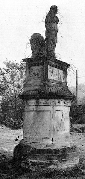
Close view of the Henry Clay monument, erected in 1820, just off the road at Elm Grove, W. Va. [probably part of the Cumberland Road postcard series]. |
|
80 |
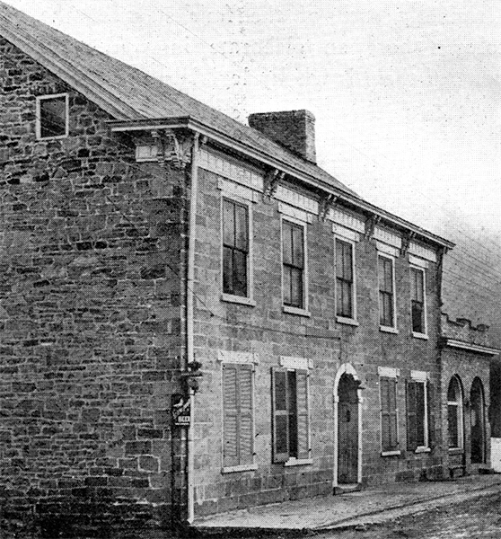
Old stone hotel at Roney's Point, W.Va., built 1820, and still doing a local business [probably part of the Cumberland Road postcard series]. |
|
80 |
Three-arched stone bridge over Little Wheeling Creek at Elm Grove, W. Va., about five miles east of Wheeling [probably part of the Cumberland Road postcard series]. |
|
81 |
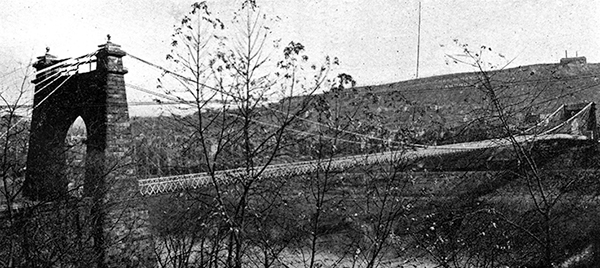
The famous suspension bridge across the Ohio River from Wheeling, West Virginia, to Bridgeport, Ohio [probably part of the Cumberland Road postcard series]. |
 |
View user comments below.
For more information:
No comments have been posted.
Feedback: Do you have corrections or contributions for this page? Want to make a suggestion? Click here to send me an e-mail. I am espcially interested in memories, stories, postcards and photographs. Thanks!

Last updated: 2011-03-10 12:51:00 |
 |
|


|
|


 1
1


