|
Scenic Locations - Colorado
Here are links to some scenic locations found along Route 40.
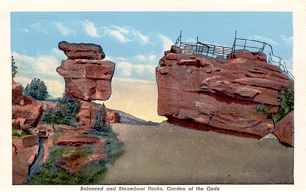
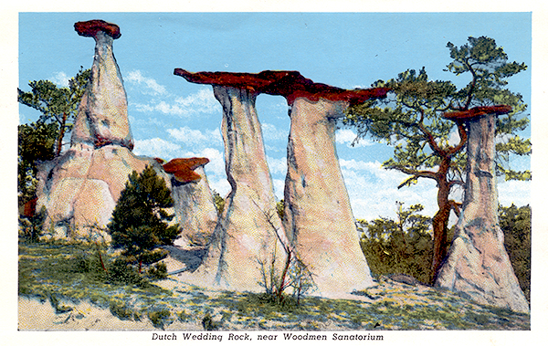 Dutch Wedding Rocks (Colorado Springs, CO) Dutch Wedding Rocks (Colorado Springs, CO)
"These unusual formations are located immediately west of Woodmen Vally fire station on the north side of the road. While visible from the road throug......" |
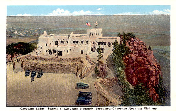 Cheyenne Mountain (Colorado Springs, CO) Cheyenne Mountain (Colorado Springs, CO)
"Elevation 9,565 feet. Inside the mountain itself, is the Cheyenne Mountain Air Force Station.
......" |
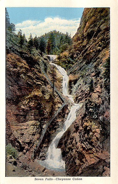
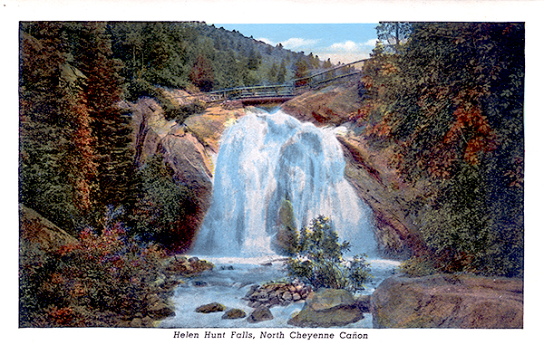 Helen Hunt Falls (Colorado Springs, CO) Helen Hunt Falls (Colorado Springs, CO)
"Named after the writer and Native American advocate Helen Hunt (1830-1885), also known as Helen Fiske and Helen Jackson. The falls are not named afte......" |
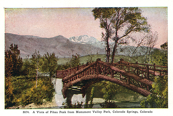
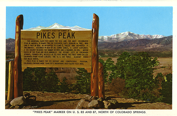 Pikes Peak (Colorado Springs, CO) Pikes Peak (Colorado Springs, CO)
"Elevation 14,115 feet.
Named after explorer Zebulon Pike, this is one of the most famous mountains in the United States. The summit is accessible by......" |
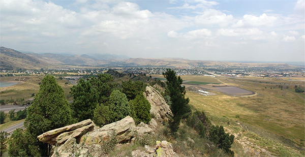
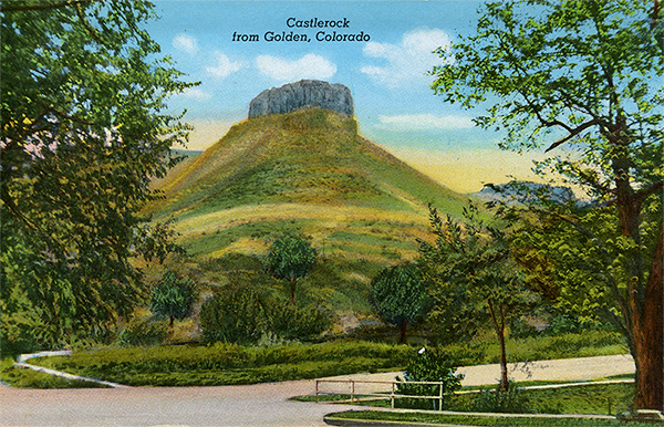 Castle Rock (Golden, CO) Castle Rock (Golden, CO)
"This landmark was once the trademark of the Coors Brewery and was featured on their bottle caps and labels between 1933-1937......." |
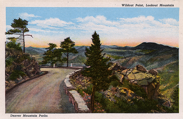 Lookout Mountain (Golden, CO) Lookout Mountain (Golden, CO)
"Home of several attractions including the Buffalo Bill Grave and Museum, the Lariat Loop Road, Lookout Mountain Park, Windy Saddle Park, Lookout Mount......" |
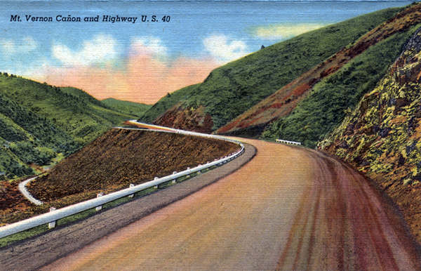
Lariat Loop Road (Golden, CO)
"A scenic switchback road from Golden to the summit of Lookout Moutain......." |
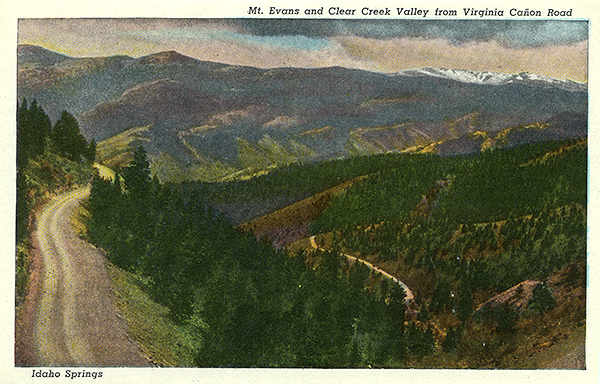
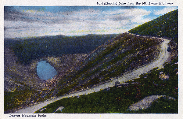 Lincoln Lake (Idaho Springs, CO) Lincoln Lake (Idaho Springs, CO)
"Also known as Lost Lake. On the Mount Evans Byway......." |
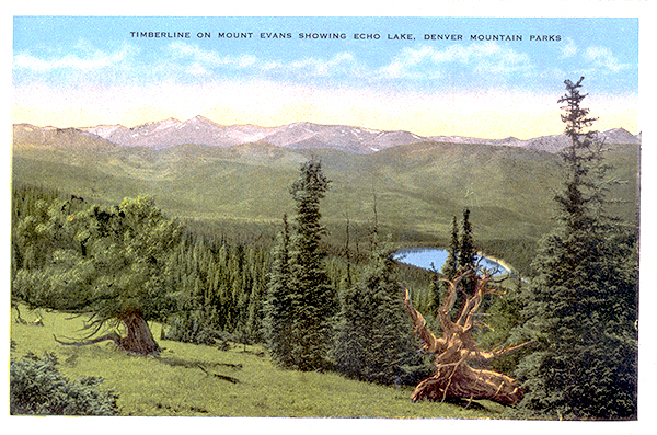 Echo Lake Park (Idaho Springs, CO) Echo Lake Park (Idaho Springs, CO)
"On the Mount Evans Scenic Byway......." |
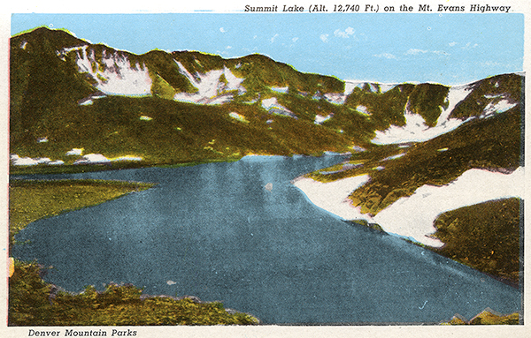 Summit Lake (Idaho Springs, CO) Summit Lake (Idaho Springs, CO)
"With an altitude of 12,840 feet above sea level, this park is the highest in the Denver Mountain Park system. It is located near the summit of Mount ......" |
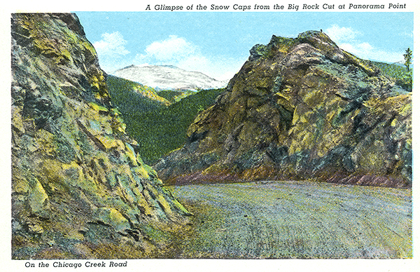
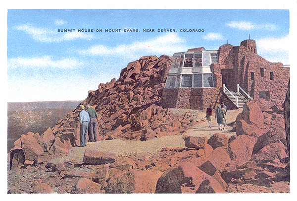 Mount Evans (Bailey, CO) Mount Evans (Bailey, CO)
"Elevation 14,264 feet. A paved road leads to the summit - the highest paved road in North America.
......" |
 40th Parallel (Granby, CO) 40th Parallel (Granby, CO)
"Some people believe that U.S. Route 40 obtained its numerical designation because it approximated the 40th parallel lattitude line. This is incorrect......." |
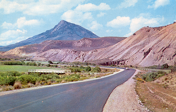
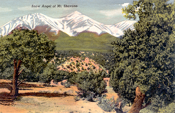 Mount Shavano (Nathrop, CO) Mount Shavano (Nathrop, CO)
"This mountain is noted for the appearance of an angel during the spring snow melt......." |
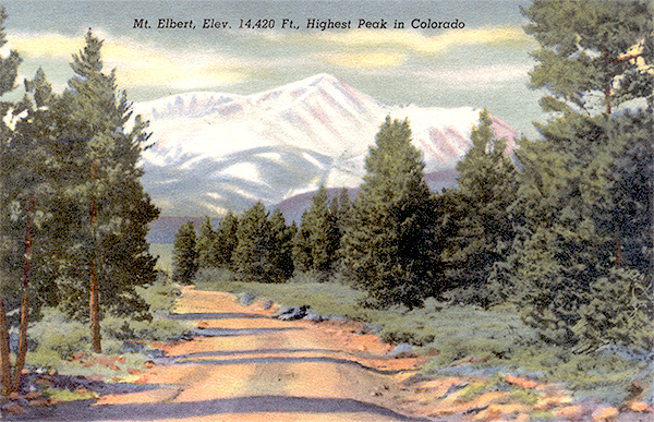 Mount Elbert (Nathrop, CO) Mount Elbert (Nathrop, CO)
"Elevation 14,443 feet. This highest point in Colorado as well as the Rocky Mountains in North America......." |
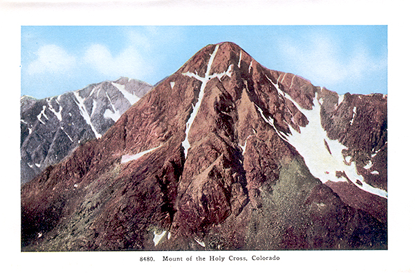 Mount of the Holy Cross (Red Cliff, CO) Mount of the Holy Cross (Red Cliff, CO)
"This mountain has a pair of vertical and horizontal crevices that at certain times of the year fill with snow and create the appearance of a cross......." |
 Muddy Pass (CO) Muddy Pass (CO)
"For westbound drivers, this is the second crossing of the Continental Divide. Here, you'll cross from the Pacific watershed back to the Atlantic. Th......" |
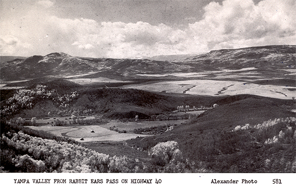
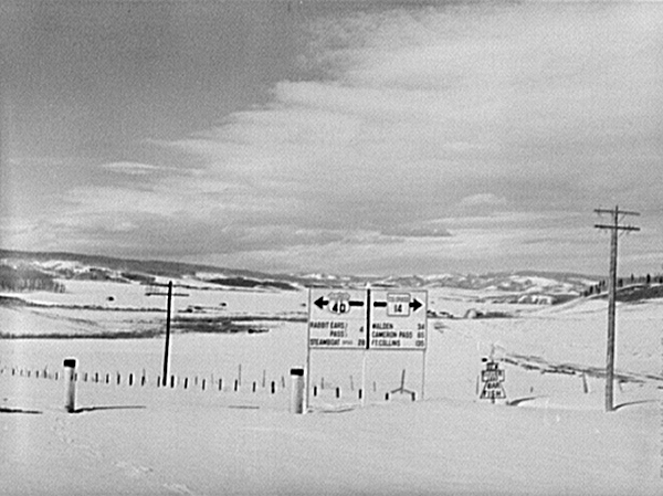
 Rabbit Ears Pass (new) (CO) Rabbit Ears Pass (new) (CO)
"This is the new Rabbit Ears Pass. The original pass is on the decommissioned highway to the north......." |
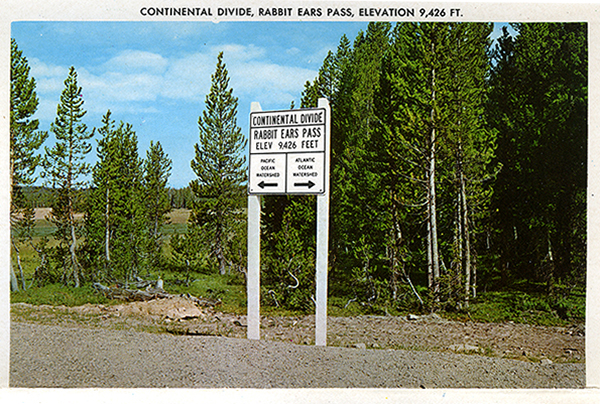
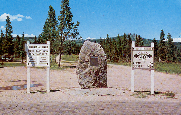 Rabbit Ears Pass (CO) Rabbit Ears Pass (CO)
"For westbound drivers, this is the third and final crossing of the Continental Divide. Here, you'll pass from the Atlantic watershed back to the Paci......" |
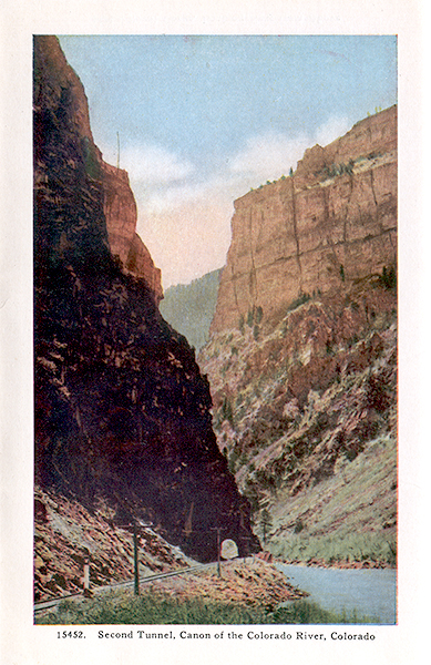
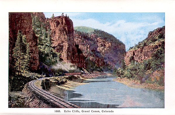
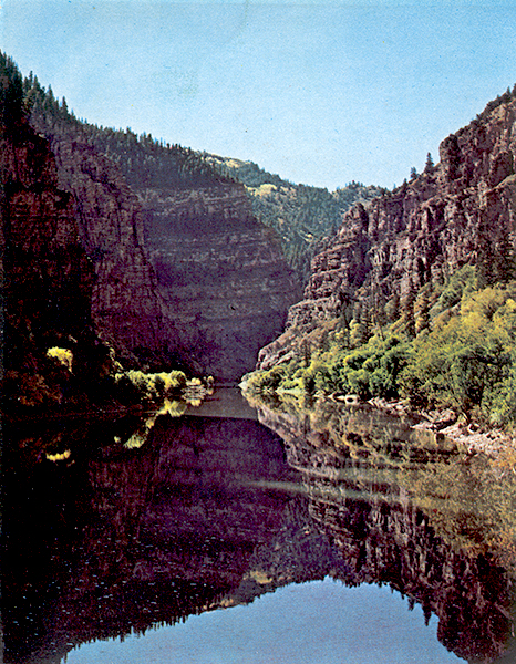
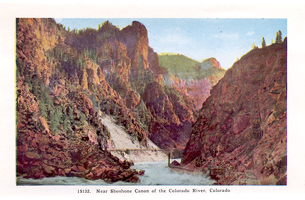 Shoshone Canyon (Glenwood Springs, CO) Shoshone Canyon (Glenwood Springs, CO)
"Here's a video about whitewater rafting in Shoshone Canyon.
......" |
Feedback: Do you have corrections or contributions for this page? Want to make a suggestion? Click here to send me an e-mail. I am espcially interested in memories, stories, postcards and photographs. Thanks!

Last updated: 2009-09-08 04:28:09 |
|
|

|
|