Rabbit Ears Pass
Routt National Forest
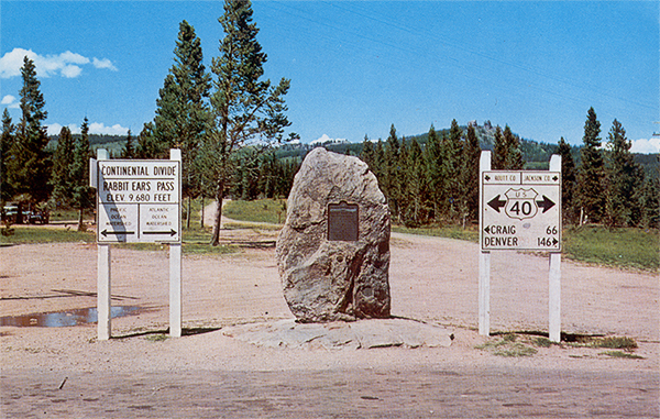
CO 80459For westbound drivers, this is the third and final crossing of the Continental Divide. Here, you'll pass from the Atlantic watershed back to the Pacific.
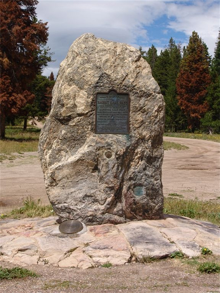
This is the original Rabbit Ears Pass. It is on the decommissioned highway north of the current alignment. Access is limited to the County Highway 199 west of the pass (east of the pass the decommissioned highway is a hiking trail).
View user comments below.
|
 |
 |
Rabbit Ears Pass. Postcard ca. 1960.
|
|
 |
 |
Old Rabbit Ears Pass Marker. August 3, 2007.
|
|
 |
 |
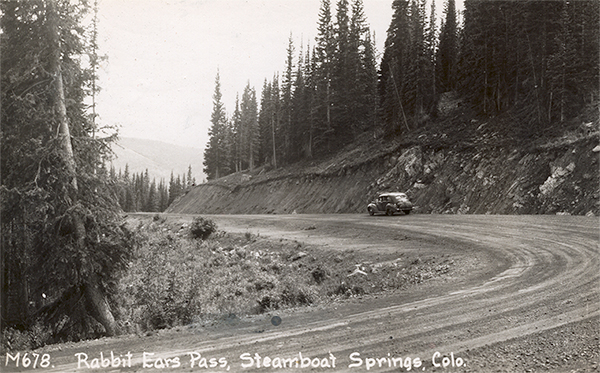
Easter side of Rabbit Ears Pass. Postcard ca. 1950.
|
|
 |
 |
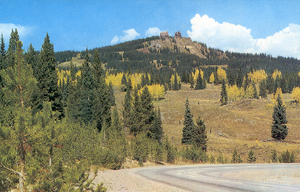
Western side of Rabbit Ears Pass. Postcard ca. 1960.
|
|
 |
 |
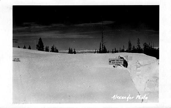
Rabbit Ears Pass in Winter. Postcard ca. 1950.
|
|
 |
 |
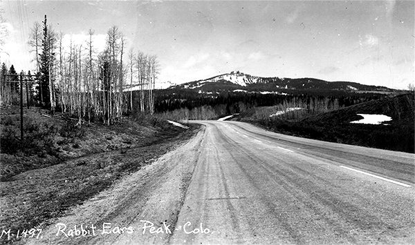
Western side of Rabbit Ears Pass. Postcard ca. 1950.
|
|
 |
 |
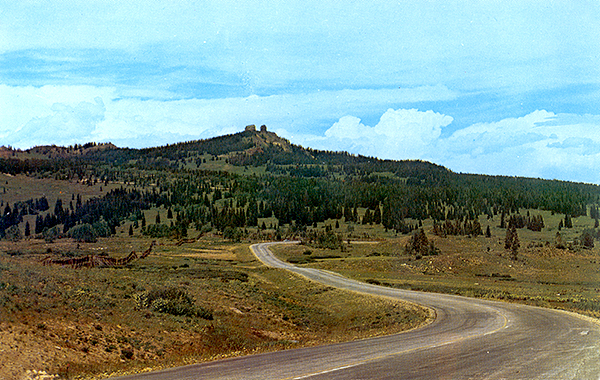
Western side of Rabbit Ears Pass. Postcard ca. 1960.
|
|
 |
 |
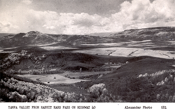
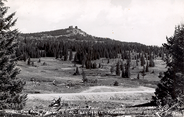
Yampa Valley from Rabbit Ears Mountain. Postcard ca. 1950.
|
|
 |
 |
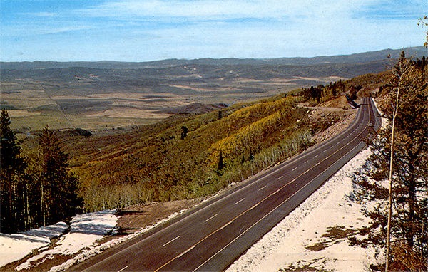
Rabbit Ears Mountain from the west side of Rabbit Ears Pass. Postcard ca. 1950.
|
|
 |
 |
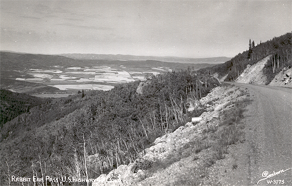
West side of Rabbit Ears Pass. Postcard ca. 1960.
|
|
 |
 |
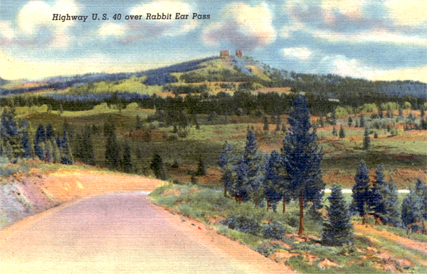
West side of Rabbit Ears Pass. Postcard ca. 1950.
|
|
 |
 |
Rabbit Ears Pass. 1939 postcard.
|
|
 |
 |
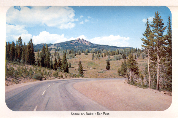
Rabbit Ears Pass. 1960 postcard.
|
|
 |
 |
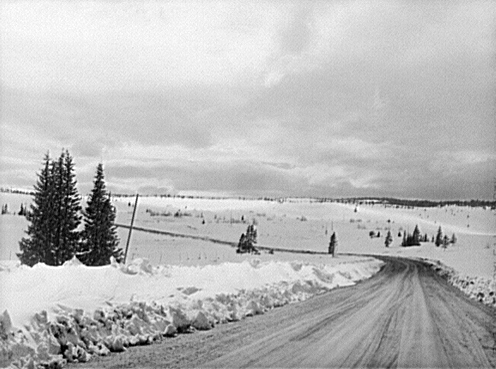
Route 40 west of Rabbit Ears Pass, 1942. Photograph by John Vachon. Courtesy of the Library of Congress.
|
For more information:
No comments have been posted.
Feedback: Do you have corrections or contributions for this page? Want to make a suggestion? Click here to send me an e-mail. I am espcially interested in memories, stories, postcards and photographs. Thanks!

Last updated: 2011-02-28 21:53:28 |
