Welcome to Frank Brusca's
Facebook   Twitter
Random Page
Dice
   
US 40 Shield
Route40.net
The best source of historic and contemporary information for America's finest transcontinental highway.
If you see a page you like, bookmark it with the social media links below.

Bridge

San Francisco-Oakland Bay Bridge

Interstate 80
San Francisco, CA 94130

baybridgeinfo.org

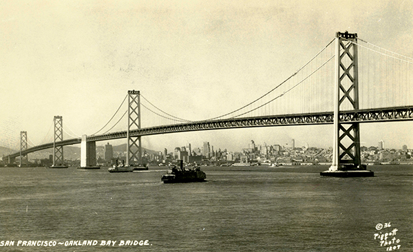
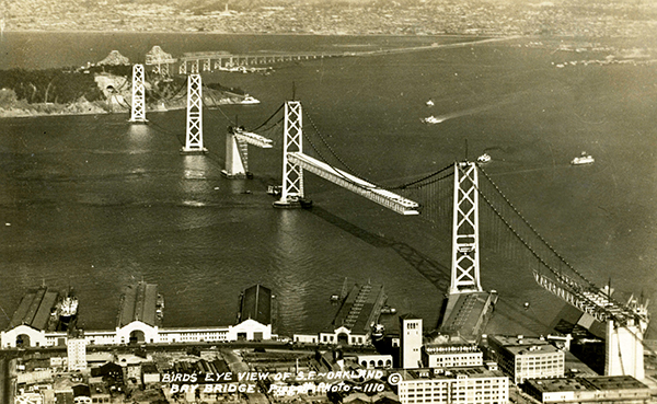
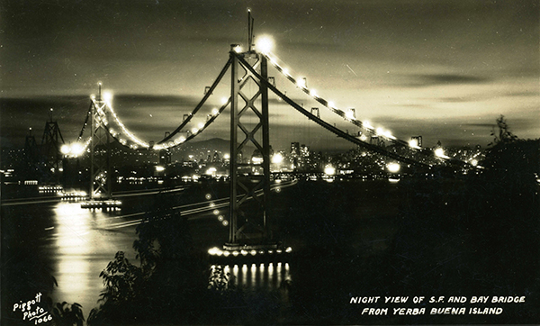
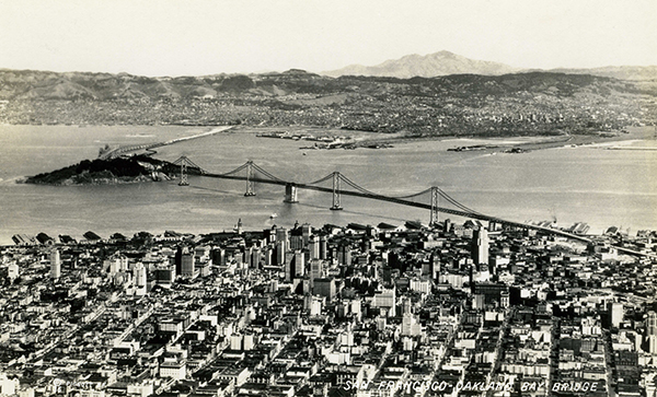
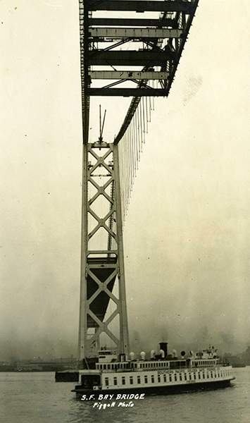
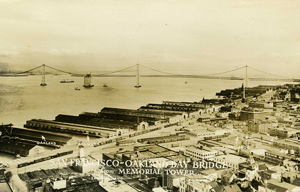
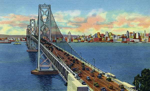
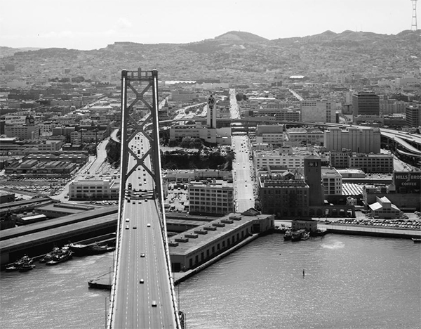
Construction began on the San Francisco-Oakland Bay Bridge on July 9, 1933, and it opened for traffic on November 12, 1936. The bridge has two decks, one above the other. Originally, the upper deck was used for automobiles while the lower deck was for truck and railroad traffic. In 1958, the bridge was reconfigured so that westbound traffic used the upper deck while eastbound traffic used the lower.

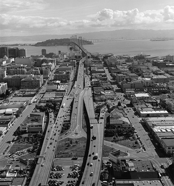
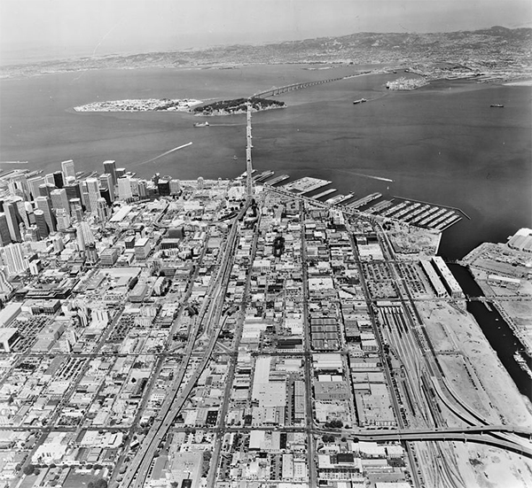
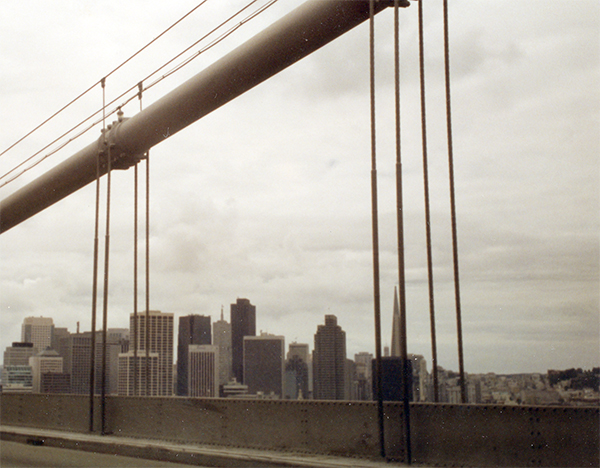
The bridge is actually two bridges connected by a tunnel on Yerba Buena Island. The east span uses a combination of a cantilever span, truss bridges and a truss causeway. The western span consists of two suspension bridges and truss spans. From end to end, the entire bridge is 8.4 miles long.

Engineers discovered that the eastern span was highly susceptible to earthquake damage and in 2002, construction began on a replacement. The new eastern span is scheduled to open in 2013.

By the way, the official name of the bridge is The James 'Sunny Jim' Rolph Bridge - although no one ever uses this name!

View user comments below.

Bay Bridge
1936 postcard


Oakland and the Bay Bridge
An aerial view of Oakland with the Bay Bridge in the background. Postcard ca. 1940.


Bay Bridge
The Bay Bridge under construction. Postcard ca. 1935.


Bay Bridge
Night view of the Bay Bridge during construction. Postcard ca. 1935.


Bay Bridge
Aerial view of San Francisco and the Bay Bridge as it was nearing completion. Postcard ca. 1936.


Bay Bridge
The Bay Bridge under construction. Postcard ca. 1935.


Bay Bridge
The Bay Bridge under construction. Postcard ca. 1935.


Bay Bridge
1944 postcard.


Bay Bridge from Yerba Buena Island
Bay Bridge from Yerba Buena Island. Courtesy of the Library of Congress/Historic American Buildings Survey.


Bay Bridge from Yerba Buena Island
Bay Bridge from Yerba Buena Island. Courtesy of the Library of Congress/Historic American Buildings Survey.


Bay Bridge
Bay Bridge. Courtesy of the Library of Congress/Historic American Buildings Survey.


Western end of the Bay Bridge
Western end of the Bay Bridge. Courtesy of the Library of Congress/Historic American Buildings Survey.


Western end of the Bay Bridge
Western end of the Bay Bridge. Courtesy of the Library of Congress/Historic American Buildings Survey.


View of San Francisco from the San Francisco-Oakland Bay Bridge
View of San Francisco from the San Francisco-Oakland Bay Bridge, May 1999.


For more information:


User Comments · Add a Comment


No comments have been posted.


Feedback: Do you have corrections or contributions for this page? Want to make a suggestion? Click here to send me an e-mail. I am espcially interested in memories, stories, postcards and photographs. Thanks!

Frank

Last updated: 2011-02-28 22:37:16

  Works best with Firefox.


Frank X. Brusca. All rights reserved.


Contact · About · Advertising · Terms · Privacy · Legal
Hosted by 1&1