Bonneville Salt Flats
Interstate 80
UTNamed after Benjamin Bonneville, an explorer in the U.S. Army. Here, Route 40 runs 47 miles in a straight line across the barren terrain.
There are three paths across the salt flats. The first was the railroad alignment built in 1910. A roadway just north of the railroad tracks was built in 1925 as the Wendover Cutoff of the Lincoln Highway. That alignment now serves as a service road for the railroad. The third path is the modern highway which was expanded to four lanes (two in each direction).
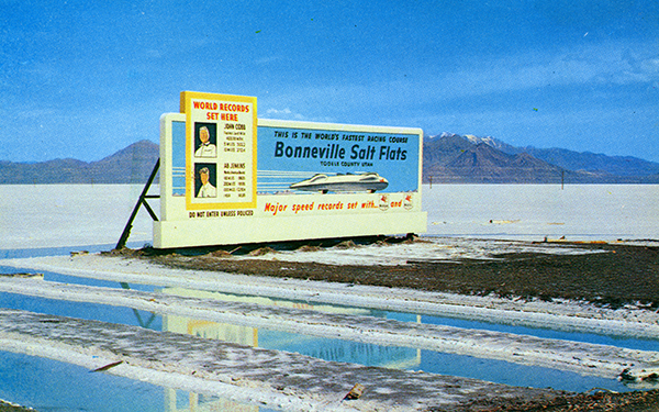
At the western end of the salt flats - and just north of the highway - is the Bonneville Raceway. It is here that land speed records are set on the perfectly flat landscape.
View user comments below.
|
 |
 |
Postcard ca. 1960.
|
|
 |
|
Postcard ca. 1960.
|
|
 |
|
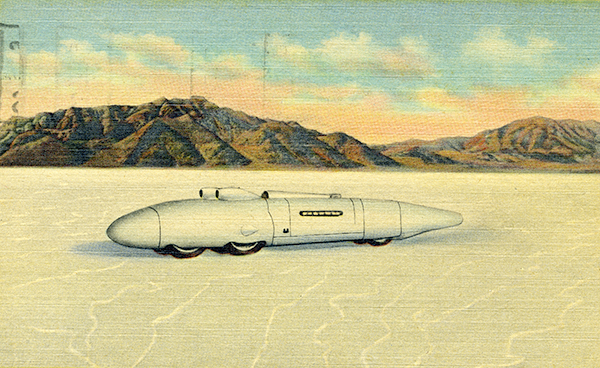
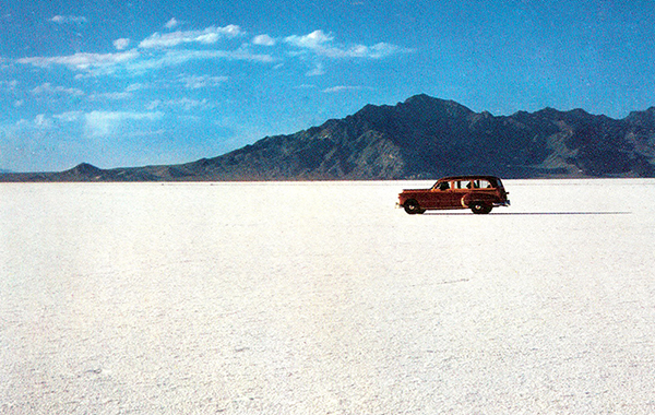
High speed car. 1938 postcard.
|
|
 |
|
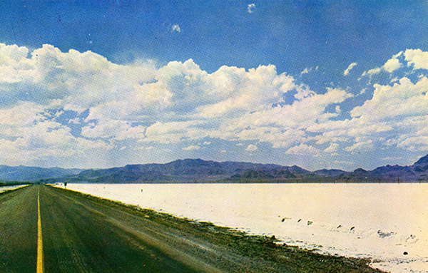
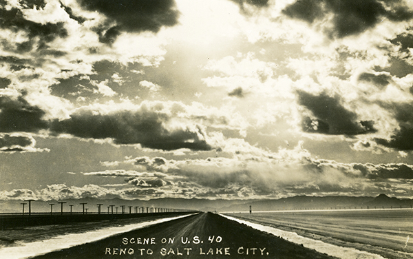
Looking west on Route 40 across the Bonneville Salt Flats. Postcard ca. 1960.
|
|
 |
|
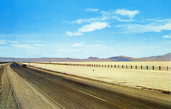
Looking west on Route 40 across the Bonneville Salt Flats. Postcard ca. 1940.
|
|
 |
|
Metaphor sculpture on the Bonneville Salt Flats. Postcard ca. 1980.
|
|
 |
|
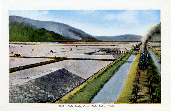
Salt Beds. Postcard ca. 1920.
|
|
 |
|
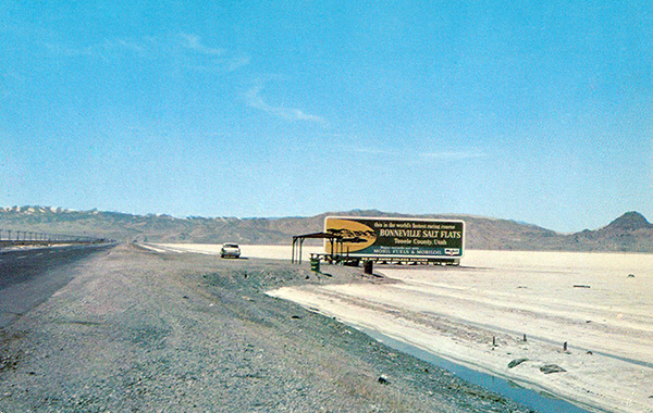
Bonneville Salt Flats. Postcard ca. 1960.
|
|
 |
|
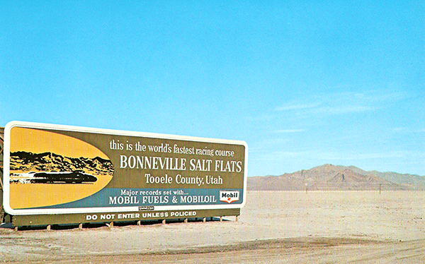
Bonneville Salt Flats. Postcard ca. 1960.
|
|
 |
|
vBonneville Salt Flats. Postcard ca. 1960.
|
|
 |
|
Salt Flats. Courtesy of the Library of Congress/Historic American Buildings Survey. Click here for a larger display.
|
|
 |
|
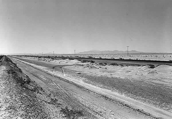
Salt Flats. From left to right are the railroad tracks, the original Lincoln Highway alignment and the pre-Interstate roadway. Courtesy of the Library of Congress/Historic American Buildings Survey.
|
|
 |
|
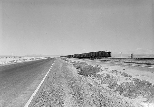
Salt Flats, looking east. Courtesy of the Library of Congress/Historic American Buildings Survey.
|
|
 |
|
Salt Flats, looking west. Courtesy of the Library of Congress/Historic American Buildings Survey.
|
For more information:
No comments have been posted.
Feedback: Do you have corrections or contributions for this page? Want to make a suggestion? Click here to send me an e-mail. I am espcially interested in memories, stories, postcards and photographs. Thanks!

Last updated: 2011-02-28 22:07:21 |