|
Truckee River
NVThe Truckee River is fed from Lake Tahoe and, to a lesser degree, from Donner Lake. The river flows to the northeast flowing through Truckee, California, and the twin cities of Reno and Sparks, Nevada. Waters from the river end up in Pyramid Lake and do not flow towards the ocean.
View user comments below.
|
 |
|
Looking west (upstream) on the Truckee River in Reno, Nevada. 1952 postcard.
|
|
 |
|
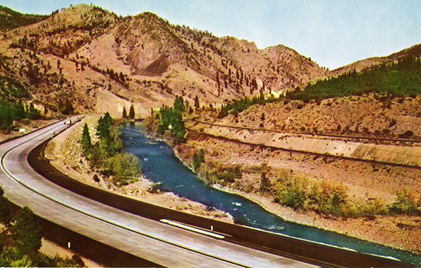
A view north (eastbound) in Truckee Canyon, about one mile north of Floriston. Postcard ca. 1950.
|
|
 |
|
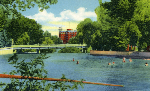
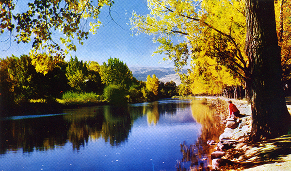
Truckee River and Wingfield Park. 1950 postcard.
|
|
 |
|
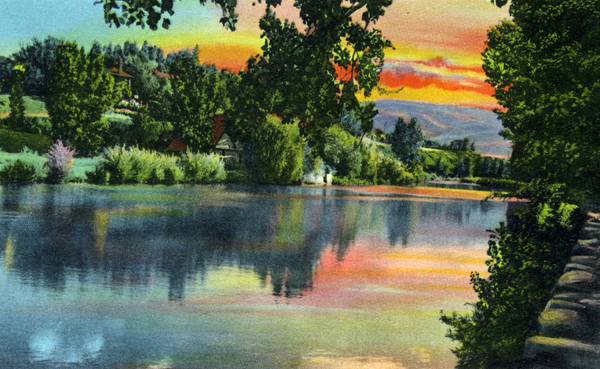
Truckee River east of Reno. Postcard ca. 1960.
|
|
 |
|
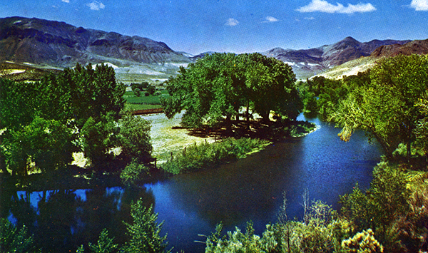
Truckee River west of Reno. Postcard ca. 1960.
|
|
 |
|
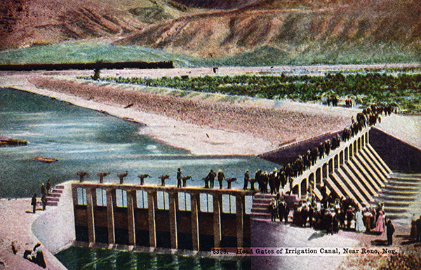
Truckee River east of Reno. 1918 postcard.
|
For more information:
No comments have been posted.
Feedback: Do you have corrections or contributions for this page? Want to make a suggestion? Click here to send me an e-mail. I am espcially interested in memories, stories, postcards and photographs. Thanks!

Last updated: |
|
|

|
|